Co-creating solutions for enhancing resilience in informal settlements
How do I strengthen early warning systems to minimise impacts?
How do I strengthen community-based flood early warning systems to minimise impacts?

Flood Early Warning Systems are critical tools for reducing loss of life and livelihoods during flood events. There is, however, growing recognition of the need to complement technical warnings with nuanced local knowledge. Doing so helps improve not only the accuracy of warnings, but also how the location, scale, and potential impacts of flood risks are understood by communities.
Informal settlements experience particularly severe impacts from flooding—impacts that are intensified by climate change, high levels of exposure and vulnerability, and social and political marginalisation within disaster risk management policy and practice. In these contexts, the effective functioning of community-based flood early warning systems (CBFEWS) is especially critical. While some localised examples of CBFEWS exist, they have rarely been scaled or embedded within wider urban systems.
This section presents case study examples of CBFEWS from the cities of Durban and Beira. It shares key lessons from these experiences, with a particular focus on integrating local and technical knowledge within early warning systems, and offers recommendations for developing CBFEWS in vulnerable areas in other cities.
Community-based flood early warning systems are vital in high-risk informal settlements. Lessons from Durban and Beira show that integrating local and technical knowledge can strengthen early warning and reduce flood impacts.
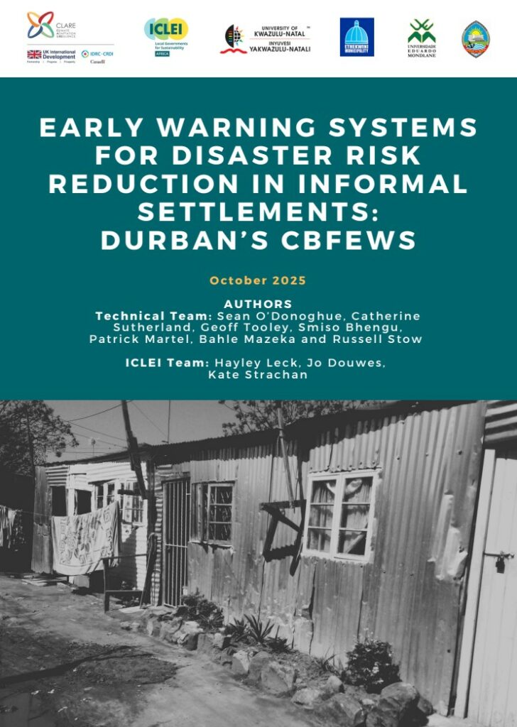
Durban’s CBFEWS
This document consolidates Durban’s existing CBFEWS experience in the Palmiet Catchment and shares reflections on what this experience means for upscaling CBFEWS in other locations
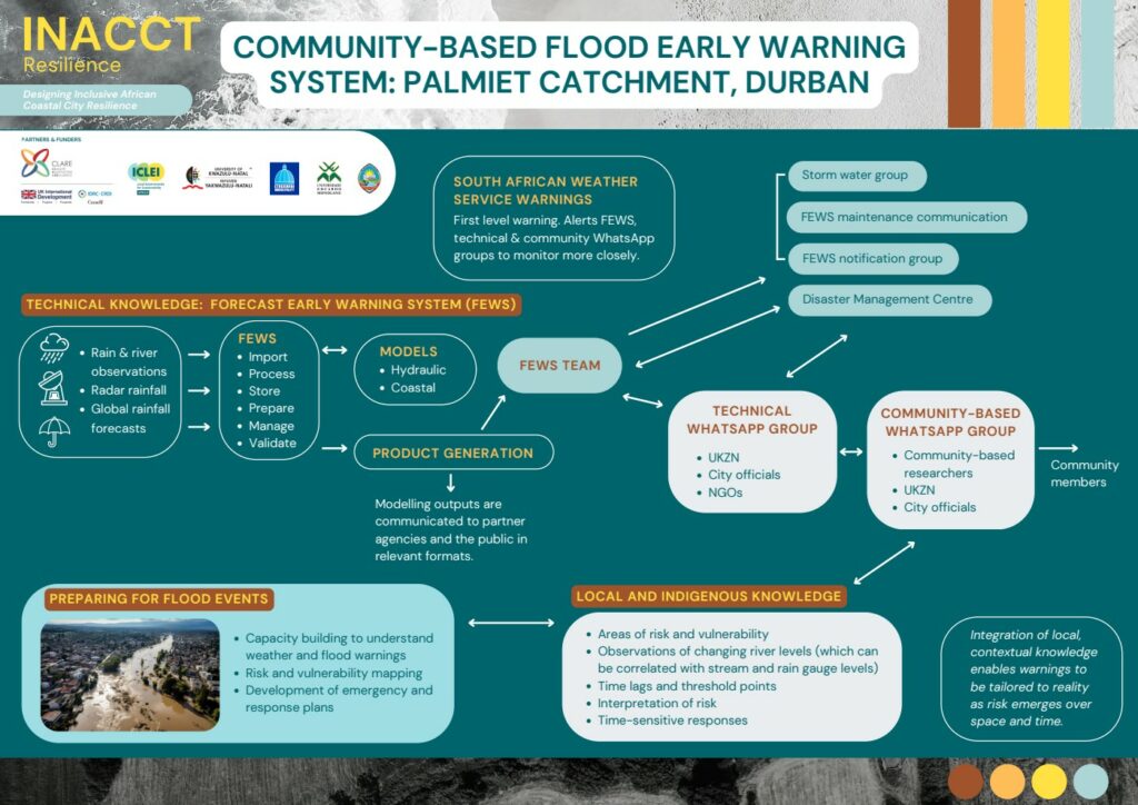
A CBFEWS in the Palmiet Catchment in Durban
This document consolidates the CBFEWS experience in the Palmiet Catchment and shares reflections on what this experience means for upscaling CBFEWS in other locations.
Learnings and recommendations for upscaling CBFEWS
This report presents the Community-Based Flood Early Warning System (CBFEWS) Upscaling Framework as a people-driven, place-based approach to strengthening flood preparedness and resilience.
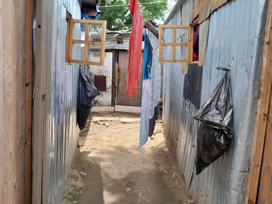
Storymaps: CBFEWS History and development
How transdisciplinary research in Durban built a Community-based Flood Early Warning System (CBFEWS).
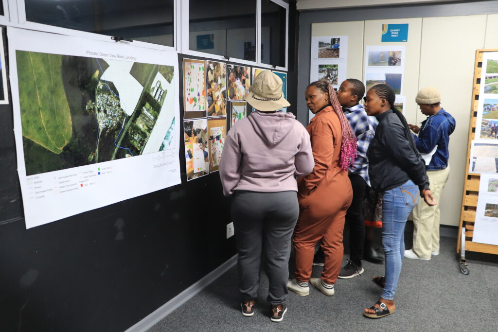
Storymaps: Expanding flood resilience: A replicable CBFEWS framework
How a decade of research produced a framework to expand community-based flood early warning systems (CBFEWS) in Durban.
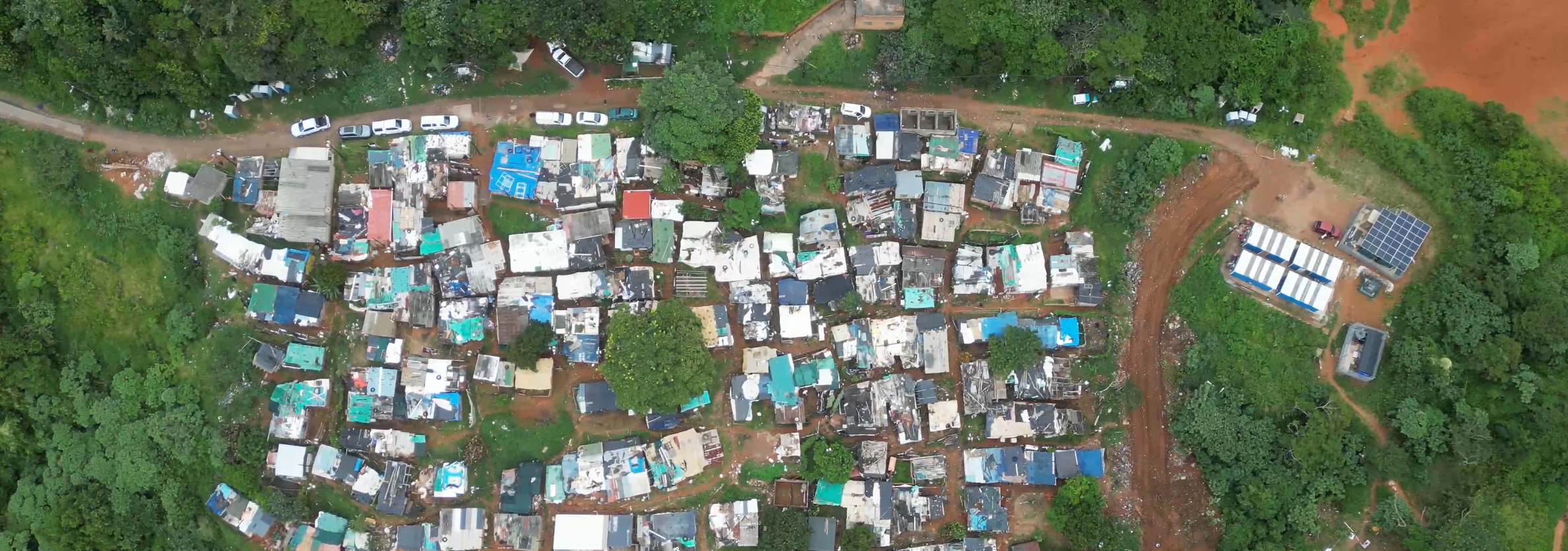
An important focus of the INACCT Resilience Project has been to develop methods and processes that can facilitate the expansion of CBFEWS into other areas, including those where hydrological modelling capacity does not exist. Two important technical products/tools have been developed: A historical rainfall analysis tool and a flood forecasting app.
Historical rainfall analysis
The historical rainfall analysis tool helps to isolate events where particular criteria have been met (for example exceedance of a particular daily rainfall volume) and then to understand the rainfall conditions (e.g. intensity and duration of rainfall) that preceded or contributed to extreme flood impacts. This has been tested in Pholani informal settlement (Durban). The historical rainfall analysis tool is available at http://wxi.info (Click on the ‘Analysis Tools’ tab in the Menu) and a user guide can be found at the button below.
Flood forecasting app
An analysis of rainfall and streamflow correlations was undertaken by Obscape (a private company that designs and builds environmental monitoring solutions) in both the Palmiet and uMzinyathi catchments in Durban, thus strengthening machine learning capacity should such correlations need to be developed in other catchments. Developing these catchment-specific correlations assists with hydrological forecasting based only on rainfall gauge data. This is particularly important in under-resourced areas where more advanced hydrological modelling capacity is not available.
The forecast is based on a machine learning developed relationship between recorded rainfall from an automatic rain gauge and recorded stream levels from an automatic stream gauge. Once this relationship has been developed, the correlation tool converts forecast rainfall from eleven Global Forecast models to stream level for a seven-day forecast period. The flood forecasting app enables community members to understand the forecast river level on their river at any time, which is most important following the issuing of a warning from the South African Weather Service (SAWS). It also allows community members to set their own river warning threshold level based on learned knowledge from past flood events. At present, the flood forecasting app also provides real time data of rainfall levels and stream levels which can be tracked as a storm passes over the location. The forecasting tool is currently being tested in the Palmiet and uMzinyathi catchments and there is potential to expand its use into additional catchments where the required data is available.
The flood forecasting app is available at http://wxi.info (Click on the ‘Forecasting’ tab in the Menu) and a user guide can be found at the button below.
CLARE is a flagship research programme on climate adaptation and resilience, funded mostly (about 90%) by UK Aid through the Foreign Commonwealth and Development Office (FCDO), and co-funded by the International Development Research Centre (IDRC), Canada. CLARE is bridging critical gaps between science and action by championing Southern leadership to enable socially inclusive and sustainable action to build resilience to climate change and natural hazards. The views expressed herein do not necessarily represent those of the UK government, IDRC or its Board of Governors. Learn more about CLARE:
www.clareprogramme.org